|
Version 1.5
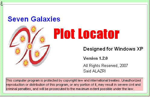
(1) Splash screen:
Displays some details about the
software and the company as well as the copyright message.
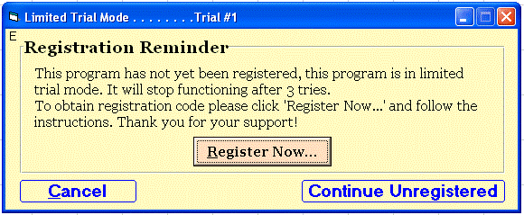
(2) Registration Reminder Screen:
To remind the
user of registering the software in order to be able to continue using
it.
(3) Main Screen:
Here you can convert the original
values of coordination found in the Plot Certificate "croaky" to a
Latitude and Longitude values that can be used with Google Earth
Software. You have two ways:
(A) Single Point:
Using this option you can
use only one Northing coordination and one Easting coordination:
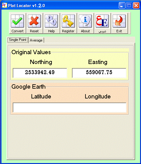
How to use it:
1.
Enter the values of Easting, Northing
as in the Plot Certificate into the designated
location within the yellow frame.
2.
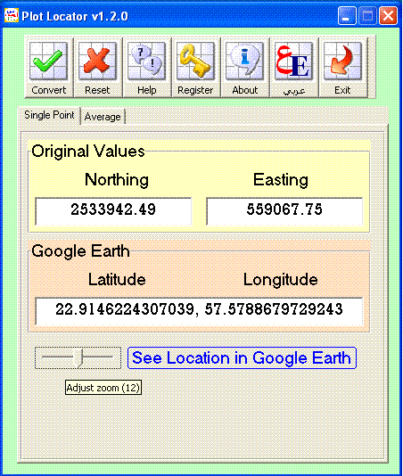
Press "Convert" from the toolbar.
Note:
You can adjust the zoom of the satellite image using the "Zoom Slider"
(as shown in the figure above)!
3.
Press "See Location in Google Earth"
====================================================
(B) Average:
Using this option you can use all
the four coordination for Northing as well as the four for Easting. Note
that the Average will be automatically calculated for you.
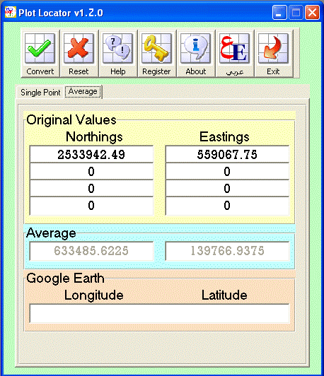
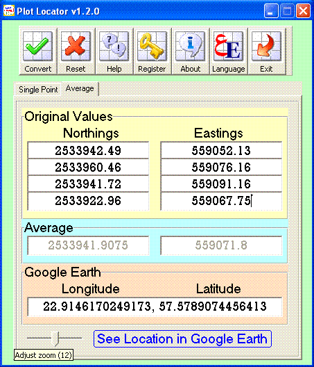
How to use it:
1.
Enter all the values of Eastings
and Northings as in
the Plot Certificate into the designated location within the yellow
frame.
2.
Press "Convert" from the toolbar.
Note:
You can adjust the zoom of the satellite image using the "Zoom Slider"
(as shown in the figure above)!
3.
Press "See Location in Google Earth"
(4) Registration Screen:
To be able to
continue using the Plot Locator v1.5 after the trial use expired, you
need to register it for a minimal annual charge equals to 15 Omani Rials.
This will allow you to use this copy of the software for 12 months.
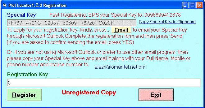
How to Register:
1.After
purchasing the software, follow one of the steps mentioned on the screen
to get your Registration Key.
2.
After getting the Registration Key, paste it in the
designated place and press Register. |